Walking
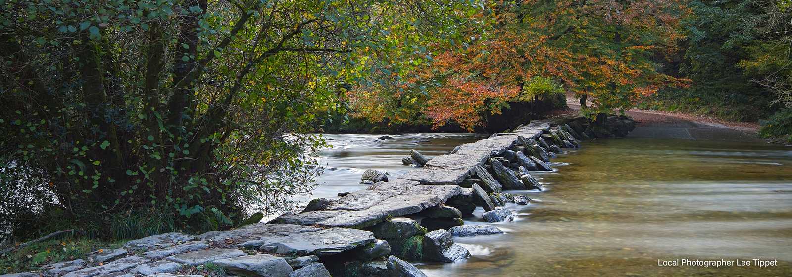
There are numerous walks directly from the site.
The lane passing Steam & Stars is part of the MacMillan Way West and will take you as far as your legs will allow.
The South West Coast Path
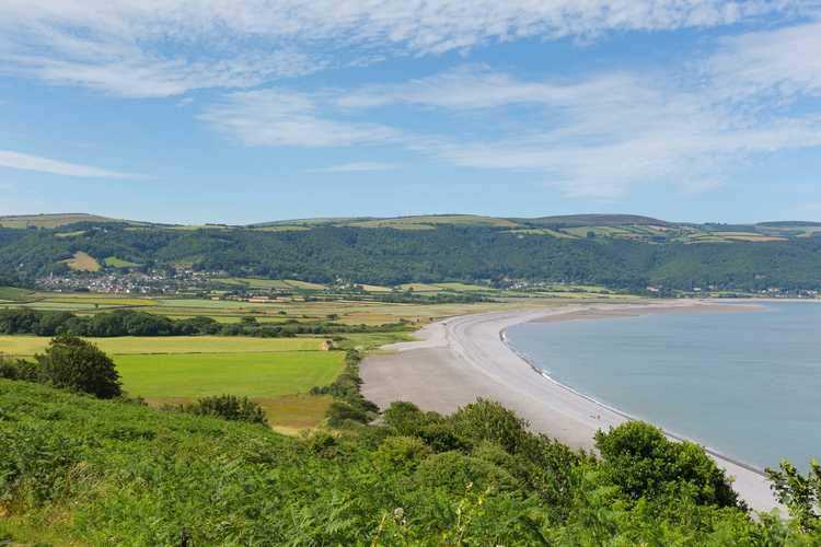
The start of the 630 mile South West Coast path is not far away in Minehead. There is a bus stop at the end of the lane where you can catch a bus into Minehead and Exmoor beyond.
The Coleridge Way
The Coleridge Way is a 51 mile route from Nether Stowey to Lynmouth. It crosses the Quantock Hills and Exmoor. It links with the South West Coast Path and the Two Moors Way.
Dunkery Beacon
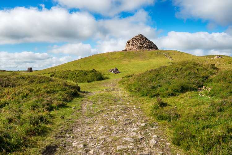
Dunkery Beacon is the highest point in Exmoor at 1705 feet ( 520 metres). It is topped with a large cairn and is a wonderful viewpoint on a clear day. You can see across Devon as far as Dartmoor in the south, the Mendips and Quantock Hills to the east, Wales and the Bristol Channel to the north and the patchwork quilt of North Devon and Hartland Point to the east. You can reach it from a small road from Wheddon Cross towards Porlock, parking at Dunkery Gate car park. Then follow the footpath for just over half a mile to the top. Why not take a picnic with you and position yourself on the sheltered lee slope with a guaranteed wonderful panorama.
The Quantock Hills
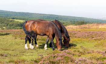
The Quantock Hills are a designated area of outstanding natural beauty (AONB) in an area of wilderness and tranquillity. Panoramic views lead you through coast, heath and combe. Explore and you will find rocky Jurassic coastline, exposed heathland summits, deep wooded combes, undulating farmland and attractive villages all within this protected landscape.
Selworthy Beacon
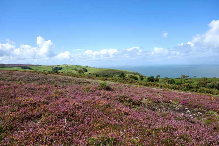
Selworthy Beacon lies to the west of Minehead. It can be reached by road by passing through Minehead Higher Town and up North Hill. The road climbs quickly onto the ridge. There are superb views of the coastline, taking in Hurlstone Point, Porlock Weir and across the channel to Wales from the top. There are some excellent walks up there with the South West Coast Path also crossing the beacon. At its highest point is a trig point marking 308 metres above sea level.
Watersmeet
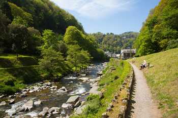
Watersmeet – Amongst other walks this National Trust land offers a 3 mile moderate walk that crosses a variety of landscapes, including the rare opportunity to walk along the bottom of a deep Devon combe without having to wade through a river. The walk goes through a large sessile oak woodland noted for its beauty, traverses an ancient linhay and passes alongside one of the most important Iron Age forts in Devon. There are panoramic views reaching from the Bristol Channel, across the East Lyn Valley and over to the high parts of Exmoor above Brendon.

